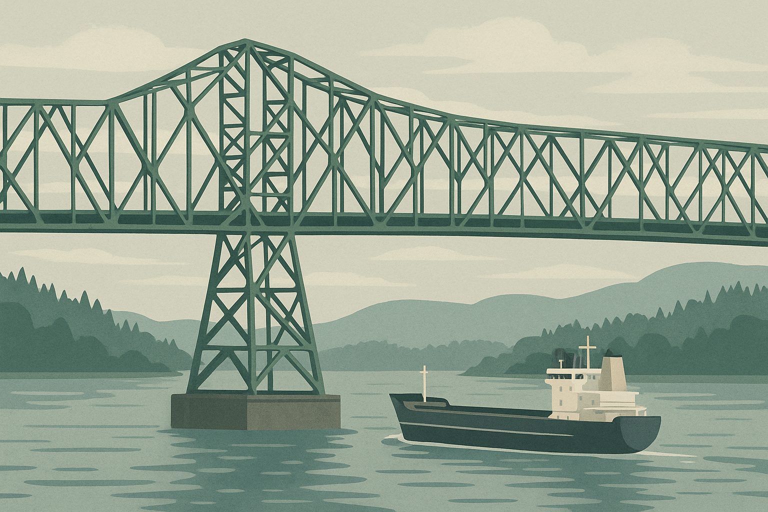
The U.S. Army Corps of Engineers is advancing a major infrastructure effort to reduce flood risk and navigation issues stemming from decades of sediment flowing from Mount St. Helens into the Toutle, Cowlitz, and Columbia rivers.
On January 15, 2026, the Corps announced the award of a $35.9 million contract to Anvil Builders, Inc. to raise the 184-foot-tall Sediment Retention Structure (SRS) on the North Fork Toutle River by 10 feet. Construction is slated to begin in summer 2026 and conclude by October 2027. A Corps spokesperson described the crest raise as a “critical step in our long‑term commitment to public safety and the region’s economic vitality.”
The SRS was originally completed in 1989 as part of the long‑term sediment control strategy authorized by Congress in 1985. Since then, sediment from the 1980 eruption has continued to erode and flow downstream, compromising river capacity and elevating flood risks for communities including Longview, Kelso, Castle Rock, and Lexington.
Over the past decades, the sediment plain behind the dam has built up to the point where the structure’s trapping efficiency has reversed—from capturing 80 percent of sediment to allowing 80 percent to pass—causing clogged water infrastructure, rising flood risks, and maintenance burdens for towns along the river.
Local officials have been sounding the alarm. Cowlitz County emergency management leaders and public works directors in Longview, Kelso, and Castle Rock warned that sediment accumulation has made riverbanks and intake systems increasingly fragile. In October 2025, they petitioned the Corps to begin dredging the Cowlitz River, but faced a budget‑constrained response. The agency cited cuts and warned dredging ‘for everyone’ is not feasible under current funding levels.
The upcoming SRS raise is designed to slow sediment‑laden flows, allowing heavier particles to settle in the sediment plain rather than overwhelm downstream channels. The project is part of a phased, multi‑component sediment management plan that also includes grade‑building structures and targeted dredging, developed through analysis dating back to 2012. Plans called for multiple raises: an initial raise, followed by additional increments as sediment re‑accumulates.
Why this matters:
Longview, Kelso, and other riverbank communities remain vulnerable to flooding and operational disruptions due to sediment build‑up—challenges that the 2026 crest raise seeks to mitigate. According to U.S. Geological Survey data, sediment volumes remain well above pre‑eruption levels, and channel capacity has been reduced to a fraction of its original depth—down from 2,200 to just 206 cubic meters per second in the Cowlitz River.
The planned construction addresses a longstanding, cumulative risk; it is not a quick fix. The sediment plain continues to evolve, and the Corps acknowledges that future raises or interventions will be necessary to maintain safety and navigability over coming decades.
Local consequences and next steps:
The project represents a long‑anticipated response to repeated community appeals about rising flood risks. While it does not include excavation of clogged river channels, the crest raise should relieve pressure on public infrastructure. Officials are still advocating for allowances to augment dredging, particularly where sediment is obstructing drinking water intakes and wastewater systems.
Construction access will be via Highway 504 in Cowlitz County, where the dam is located. The Corps is coordinating with environmental regulators and Native partners to address fish passage and habitat protection during construction.
A deployment this summer and completion by October 2027 sets a clear timeline—but vigilance and further planning will be essential to prevent sediment from resuming its downstream consequences.
Sources:
- The Spokesman‑Review, “Army Corps to raise Mount St. Helens sediment dam” (read more) — announced project details and timeline.
- U.S. Army Corps of Engineers press release, “USACE awards $35.9M contract for Mount St. Helens sediment dam improvement” (read more) — offers cost, contractor, and project context.
- DredgeWire, “Mount St. Helens’ sediment may have worsened flooding on the Cowlitz River” — documents local officials’ complaints and sediment’s effects on flooding.
- U.S. Geological Survey, “Hazards from Post‑Eruption Excess Sediment at Mount St. Helens” — outlines long-term sediment impacts and reduced channel capacity.