A winter weather advisory is now in effect for the Cascades, and Portland may see a brief dusting of snow overnight, according to a forecast highlighted by KGW. While the metro area is expected to receive only light, short‑lived flurries, higher elevations in the mountain passes are positioned for more substantial snowfall.
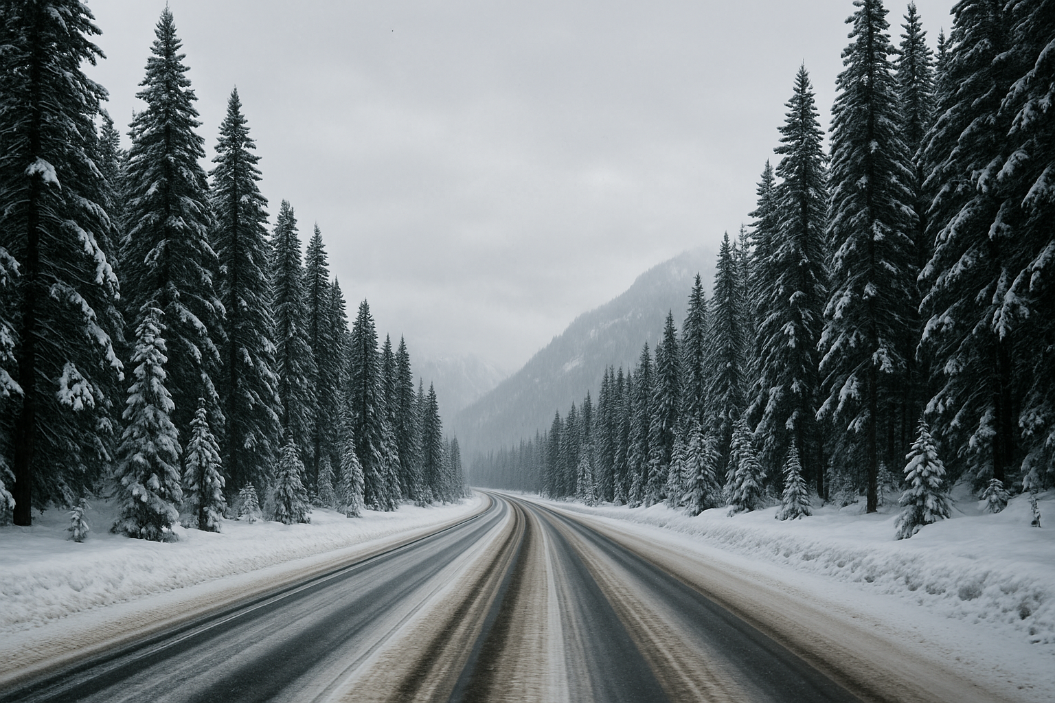
The National Weather Service has issued an advisory extending from early Monday through early Thursday for the higher Cascade regions. Forecasts reported by OPB indicate possible accumulations of 4 to 8 inches Monday, 2 to 5 inches Tuesday, and potentially 4 to 9 additional inches Wednesday in the southern Washington and north‑central Oregon passes. These areas include Government Camp, Santiam Pass, Willamette Pass, and portions of the Mt. St. Helens region. Travel through these corridors may be icy and hazardous, with forecasters urging drivers to carry winter emergency supplies.
For Portland‑area residents, any snowfall is expected to melt quickly as daytime temperatures rise above freezing. Lower elevations in the Willamette Valley may see brief flakes but are unlikely to experience lasting accumulation. Regional weather patterns this week follow an unusually dry winter that has pushed Oregon’s snowpack to historically low levels.
Although Longview and Kelso are not currently under any snow advisory, the same cold air pattern influencing Portland may bring brief overnight flurries or slick conditions in higher neighborhoods of Cowlitz County. Travelers heading south toward Portland or east toward mountain passes should monitor updated advisories from the National Weather Service.
As always during winter weather events, officials recommend preparing for rapidly changing conditions and using extra caution on roads, bridges, and overpasses.
Sources:
KGW: Winter Weather Advisory: Portland could get snow Monday night
OPB: Snow dumps in store for Cascade passes, National Weather Service warns