
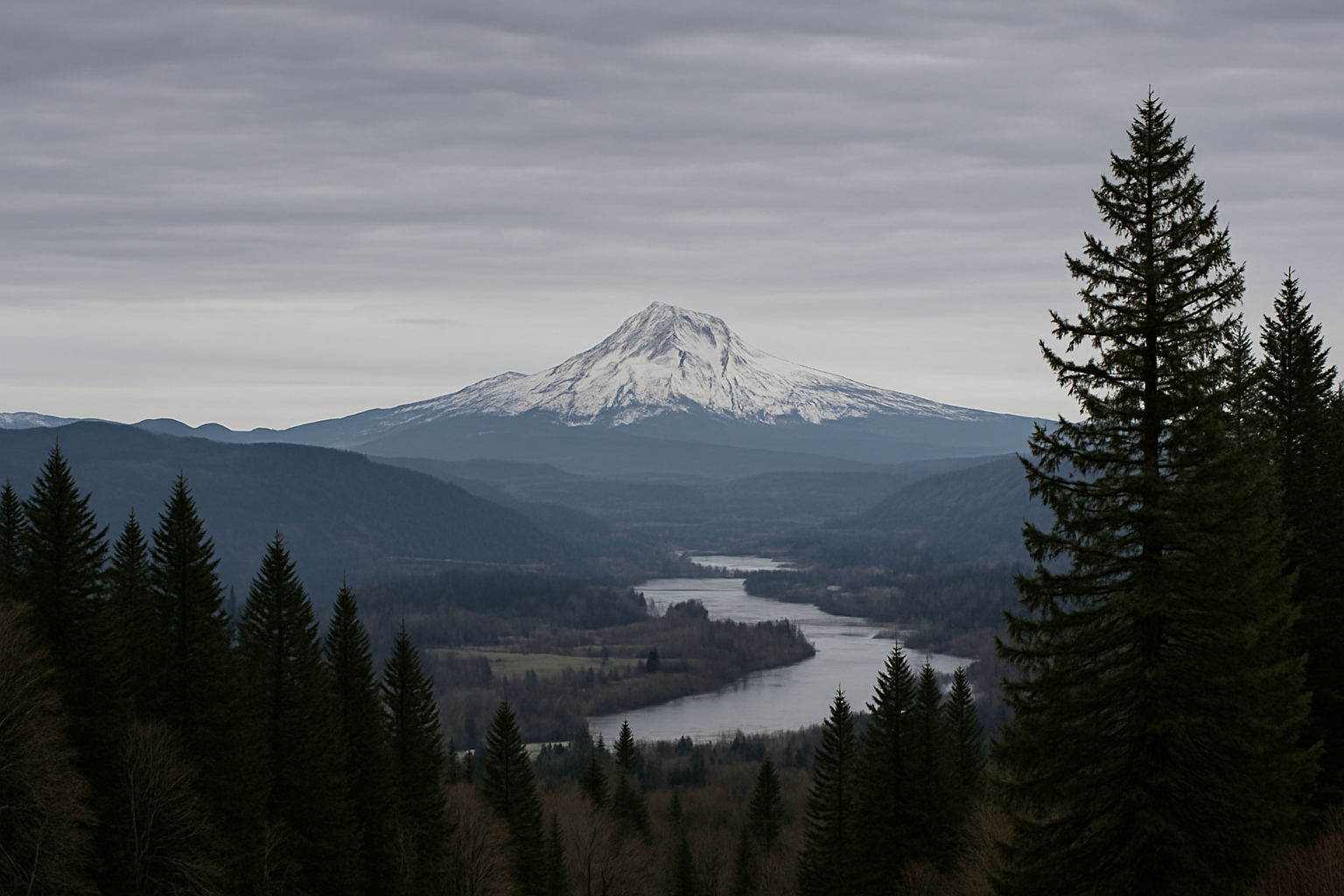
Snowpack on Mount Hood — a key “natural reservoir” for much of Northwest Oregon and Southwest Washington — is running well below typical mid-winter conditions, according to federal SNOTEL measurements. While Mount Hood is outside Cowlitz County, what happens in the central Cascades matters locally: it influences regional hydropower operations, summer recreation economies, and the broader pattern of drought and wildfire risk that can affect Southwest Washington’s air quality and firefighting resources.
At the USDA Natural Resources Conservation Service (NRCS) Mt Hood Test Site SNOTEL (elevation about 5,380 feet), the station reported 10.1 inches of snow water equivalent (SWE) on January 19, 2026 (provisional daily data). SWE is the amount of water contained in the snowpack — a more meaningful measure than snow depth for spring and summer runoff.
What the data shows right now
Daily SNOTEL data indicates Mt. Hood’s SWE climbed during early January storms, then leveled off and began slowly slipping as milder conditions returned. The station’s readout shows SWE holding near 10 inches from mid-January through January 19, with snow depth around the mid-30-inch range at that time.
Source: USDA NRCS / NWCC “Report Generator” for Mt Hood Test Site (651:OR:SNTL): wcc.sc.egov.usda.gov
Why this matters to Longview, Kelso, and the Lower Columbia
Even when the deepest snow is elsewhere in the Cascades, the region’s winter snowpack is a shared piece of infrastructure — it controls when and how water moves downstream. A low or early-melting snowpack can mean:
- Earlier spring runoff and drier late summer conditions, which can raise drought stress on forests and vegetation across Southwest Washington.
- Higher wildfire risk later in the year, including smoke impacts in Cowlitz County when regional fire activity is elevated.
- Knock-on effects for power and water management across the broader Columbia Basin and regional utilities that balance reservoir storage, streamflows, and demand.
Federal drought analysts have warned that many SNOTEL stations in the West have been at or near record-low SWE percentiles at points this winter, a pattern described as “snow drought.” That risk is not limited to one mountain or one county.
Source: Drought.gov update on snow drought conditions (Jan. 8, 2026): drought.gov
Warm winter signals, and the uncertainty ahead
Regional reporting has also highlighted how unusually warm and dry conditions in January can suppress snowpack formation — even in a season some forecasts expected to be colder and wetter. The big caveat: February and March storms can still change the picture dramatically, so mid-winter numbers are not the final word on summer water supply.
Source: Axios Portland overview of warm/dry winter impacts (Jan. 20, 2026): axios.com
What to watch locally
For Cowlitz County residents, the practical near-term questions are less about one Mount Hood station and more about the trendline across the Cascades: Will the region get sustained cold storms that build SWE through February and March, or will rain-at-elevation events and warm spells keep eroding the snow “savings account” we rely on for late summer?
We’ll continue tracking SNOTEL and drought indicators as winter progresses, with an eye on what it could mean for Southwest Washington’s summer conditions.
Sources
- USDA NRCS / NWCC SNOTEL data (Mt Hood Test Site): https://wcc.sc.egov.usda.gov/reportGenerator/view/customSingleStationReport/daily/651%3AOR%3ASNTL%7Cid%3D%22%22%7Cname~0/-29%2C0/WTEQ%3A%3Avalue%2CWTEQ%3A%3Adelta%2CSNWD%3A%3Avalue%2CSNWD%3A%3Adelta
- Drought.gov (Snow drought conditions, Jan. 8, 2026): https://www.drought.gov/drought-status-updates/snow-drought-current-conditions-and-impacts-west-2026-01-08
- Axios Portland (Warm/dry winter and snowpack risk, Jan. 20, 2026): https://www.axios.com/local/portland/2026/01/20/oregon-warm-winter-snowpack-risk
Note: We attempted to review the original KOIN story provided in the tip, but the page could not be accessed from our systems due to site restrictions. The measurements and background above are based on independently verifiable federal data and publicly accessible reporting.


Leave a Comment