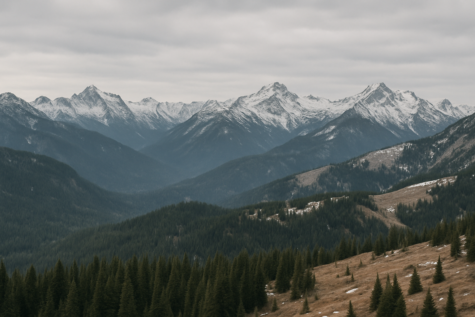
Washington state is facing an unusually severe snow drought. As of early February 2026, statewide snowpack levels stand at roughly 50% of the long‑term average—an alarming low. In Oregon, conditions are even more dire, with snowpack at just 27% of normal. These levels rank among the lowest since statewide monitoring began in the 1980s. Deputy state climatologist Karin Bumbaco characterized the outlook as “really bleak,” cautioning that even if normal snowfall occurred for the remainder of the season, most basins would still fall below 75% of median by April 1. Recovery now seems unlikely without an extraordinary late‑season snow event.
The implications are significant. Snowpack functions as the Pacific Northwest’s natural reservoir, storing water through winter and releasing it gradually in spring and summer. Reductions in snowpack threaten water availability for irrigation, hydropower generation, soil moisture levels, and wildlife—particularly salmon, which rely on sustained stream flows. Early melting also raises the risk of a longer and more intense wildfire season as vegetation dries out earlier than usual.
While December brought record rainfall and some localized boost to reservoirs—such as the Yakima Basin, which now holds 135% of typical seasonal levels—this did not compensate for the snow deficit. Much of the precipitation fell as rain rather than snow, meaning it could not be stored for gradual release. As Climate and water officials emphasize, reservoir levels can only do so much; snowpack remains indispensable.
Meteorological data confirms a broader regional trend: the western U.S. is experiencing its most extreme snow drought on record. Snow cover across the West is now just about 155,000 square miles—barely one‑third of the usual extent. Unrelenting warmth, including the warmest December through early February ever recorded at many Western weather stations, has degraded snow cover and depth dramatically. Scientists warn of cascading consequences, from diminished water reserves to elevated wildfire risk and threats to winter recreation and tourism.
Forecasters predict a potential shift toward wetter conditions in the weeks ahead. But temperatures are expected to remain above average, limiting the potential for snowpack recovery. With the snowpack peak historically occurring in March or April, there is still a narrow window for improvement—though the odds of reaching near‑normal levels appear slim.
New Developments
As of mid-February 2026, Washington has its third-lowest snowpack on record, based on data going back to 1985, according to state climatologists. The period from October through January marked the warmest start to a water year ever recorded in Washington, averaging 3 degrees Fahrenheit above normal, with comparable data extending to 1895. The climate office characterizes this as a transition from a “warm snow drought” to a “dry snow drought.”
Current measurements place the Olympics at just 34% of median snowpack, while the central and southern Cascades are similarly depleted. Statewide, Washington stands at the fifth percentile historically, while Oregon and Idaho both report snowpack at record lows—the zero percentile for this time of year—according to the National Integrated Drought Information System. Critical water basins including the Willamette, Deschutes, Yakima, Boise, and Spokane are all facing severe snow water shortages.
Due to the late season, only 34% of the state’s typical April 1 snowpack forms after February 1, leaving very little opportunity for recovery. “Every basin in Washington, except for the upper Columbia, needs more snow than we’ve seen in 90% of our historical records to reach normal by April 1,” Deputy State Climatologist Karin Bumbaco said during a recent briefing. She added that a “miracle” would be needed to recover the remaining deficit.
Despite record rain and flash flooding events in December, especially in western Washington, most of that moisture fell as rain, not snow, limiting long-term hydrological benefit. More recently, conditions have turned drier, with parts of eastern Washington receiving less than 50% of normal precipitation.
Fire Season Concerns and Climate Outlook
Bumbaco warned that the existing snow will likely melt earlier than usual, extending the period of summer dryness. “Once it dries out, we just have a bigger window of opportunity for fires to start,” she said, emphasizing that the 2026 wildfire season could be longer than normal.
National Weather Service meteorologist LeeAnn Allegretto noted that if May and June prove both warmer and drier than average, “it’ll absolutely lend to a greater chance of an extended fire season with increased fire behavior.”
However, some optimism exists among forecasters. University of Washington atmospheric scientist Cliff Mass indicated that a pattern shift toward lower pressure and increased storm activity in February could help alleviate conditions, at least temporarily. “Instead of high pressure, we have low pressure coming in. So just where they need the snow, they’re going to get it,” he told local radio. “We’re going to be in a much better situation two weeks from now.”
Climate analysts at the Washington State Climate Office note that a weak La Niña remains in effect but has not produced the usual precipitation patterns typical of that phase. The entire West Coast has been warmer than normal, with impacts extending to Colorado and the desert Southwest, where reduced snowpack could also contribute to cross-regional smoke impacts this summer.
Why this matters locally: Cowlitz County and surrounding areas, like all of Western Washington, depend on consistent snowmelt. Reduced snowpack heightens the likelihood of summer water shortages, impacts on agriculture and municipal supply, and early wildfire season. Local planning and conservation efforts should anticipate constrained water availability and elevated fire risk if current trends persist.
Further reading: Washington’s snow drought conditions as detailed by the National Integrated Drought Information System; statewide snowpack report from the University of Washington; and broader regional assessments by MyNorthwest and the Associated Press.


Leave a Comment