
The National Oceanic and Atmospheric Administration (NOAA) has initiated a pilot program deploying Meteodrones—autonomous weather drones—to collect atmospheric data and enhance forecasting accuracy. This marks the first time drone-collected data will be operationally integrated into National Weather Service (NWS) models.
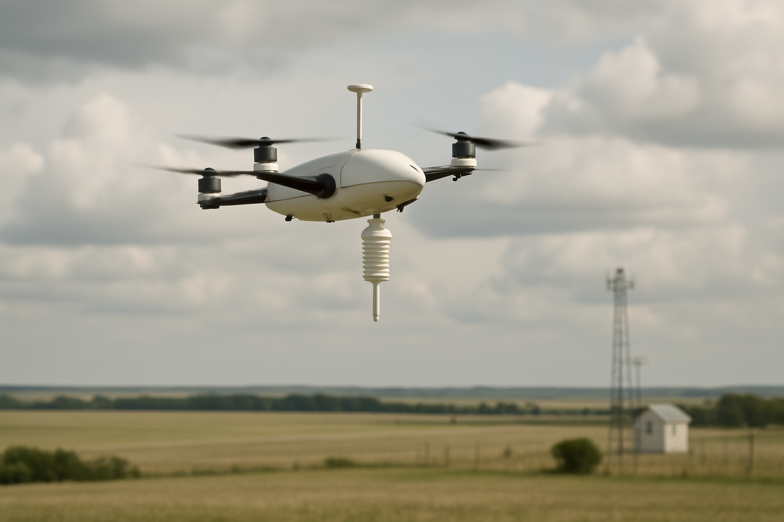
Under the National Mesonet Program, weather intelligence firm Meteomatics is providing the drones, with data delivery managed by Synoptic Data PBC and integration handled by KBR, the NMP prime contractor. The drones will collect vertical profiles of temperature, humidity, and wind between approximately 50 and 20,000 feet above ground—altitudes where the national weather observation network is notably sparse.
The pilot is scheduled to run from February through April 2026, with routine flights conducted remotely from a Meteobase in Oklahoma. This enables centralized drone operations with greater flexibility and efficiency. According to Meteomatics, the new data — covering key atmospheric layers — will improve prediction of thunderstorm formation, fog dissipation, winter precipitation type (rain vs. snow vs. ice), air quality dispersion, and low-level wind development.
NOAA officials and Meteomatics leadership emphasize that this public-private partnership is crucial to expanding vertical weather profiling capabilities. The project represents a significant step toward modernizing observational infrastructure and strengthening forecast reliability nationwide.
Why this matters locally: While Cowlitz County jurisdictions do not currently host Meteodrone operations, the success of this pilot could pave the way for regional adoption in western Washington. Improved vertical profiling over the Pacific Northwest would benefit aviation safety at Southwest Washington Regional Airport, enhance preparedness for localized severe weather events, and aid agricultural planning by refining fog, frost, and precipitation forecasts.
Agricultural stakeholders and local road authorities should monitor outcomes, as more precise short-term forecasts could enable earlier road treatment decisions and more targeted crop protection measures. Should the pilot be expanded, municipalities and emergency planners may gain access to improved warning lead times for localized weather hazards.
What comes next: NOAA and its partners will evaluate the utility of Meteodrone data in operational forecasting throughout the pilot period. If successful, the program may be extended or expanded nationally. Local agencies and stakeholders in Longview and Kelso may wish to engage with NOAA’s regional forecast office to express interest in participation or data-sharing opportunities once the program moves beyond the pilot phase.


Leave a Comment