

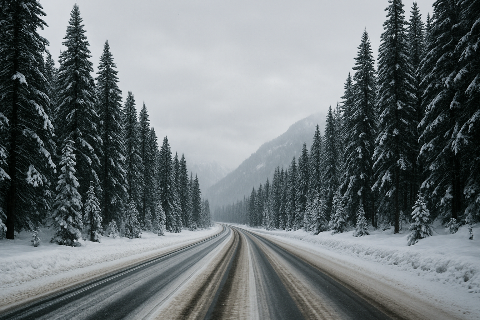
A Weather Impact Alert issued by KGW warns that a push of cold air is expected to bring snow to the Coast Range and the Cascades, with lighter accumulations possible in higher elevations around the Portland metro area. According to the station’s report, scattered showers are forecast to continue through Thursday, with temperatures low enough to support occasional snow in elevated terrain.
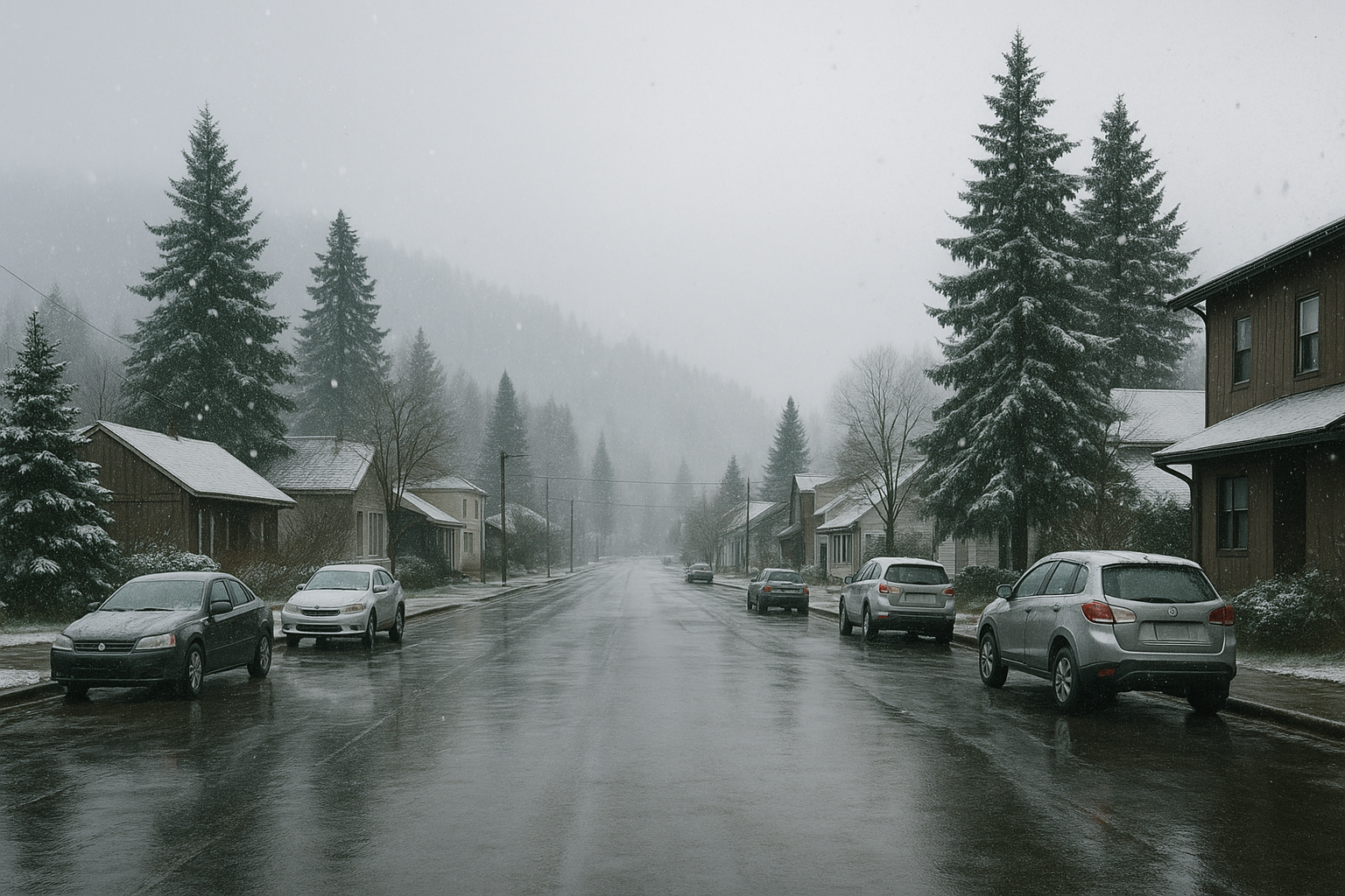
While the Coast Range and Cascades shoulder the bulk of the storm’s impact, communities in Cowlitz County—particularly those along the western foothills—may experience brief periods of mixed precipitation during colder overnight hours. Lower elevations in Longview and Kelso are not currently forecast to see meaningful accumulation, but shifting conditions remain possible as the weather pattern evolves.
KGW’s alert describes the system as driven by a surge of cold air capable of lowering snow levels at times, potentially affecting travel over higher‑elevation routes to the coast and into Oregon’s Cascade passes. Drivers heading south toward those areas should monitor updates from regional transportation agencies for changing conditions.
Why this matters for Cowlitz County
Though the immediate forecast does not indicate significant snowfall in Longview, Kelso, or surrounding lowland communities, regional weather events in the Coast Range and Cascades routinely influence local travel, freight movement, and utility reliability. Short-term cold snaps can raise localized risks such as slick rural roads, brief outages, and strain on vulnerable households.
Residents planning high‑elevation travel, or those with work routes crossing the coastal or Cascade corridors, may wish to prepare for intermittent snow and colder temperatures through Thursday. Forecast information will continue to be updated by broadcasters and federal weather agencies as the system progresses.

Leave a Comment