
Western Washington is entering its first meaningful stretch of cold, unstable weather this winter, and forecasters say that while lowland snow is possible, the odds remain limited. The National Weather Service (NWS) is tracking a pair of upper‑level low‑pressure systems expected to move across the region through midweek, bringing scattered showers, colder temperatures, and a slight chance of overnight snow in the lowest elevations.
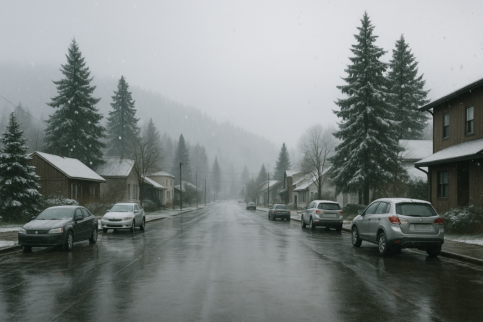
According to reporting by MyNorthwest, snow levels are forecast to fall to around 1,000 feet on Monday and drop further to roughly 500 feet through the remainder of the workweek. For communities in Cowlitz County—where Longview and Kelso sit near 20 feet above sea level—any snow that does materialize would likely occur during the coldest overnight and early‑morning hours, and would most likely accumulate only on grassy or elevated surfaces.
The NWS forecasts high temperatures in the lower to mid‑40s through Friday, several degrees below seasonal norms for mid‑February. Overnight lows are expected to reach the lower to mid‑30s. Forecasters caution that these conditions could create isolated icy patches on local roads, particularly in areas shaded from daytime warming.
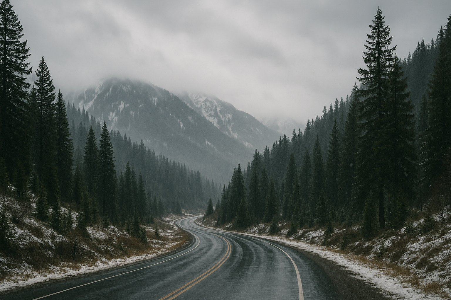
For southwestern Washington, precipitation is expected to remain light and intermittent. The current forecast suggests most lowland locations will receive less than an inch of total precipitation through Friday. “Hit‑and‑miss” showers remain the dominant pattern, making snowfall highly dependent on timing and localized cooling.
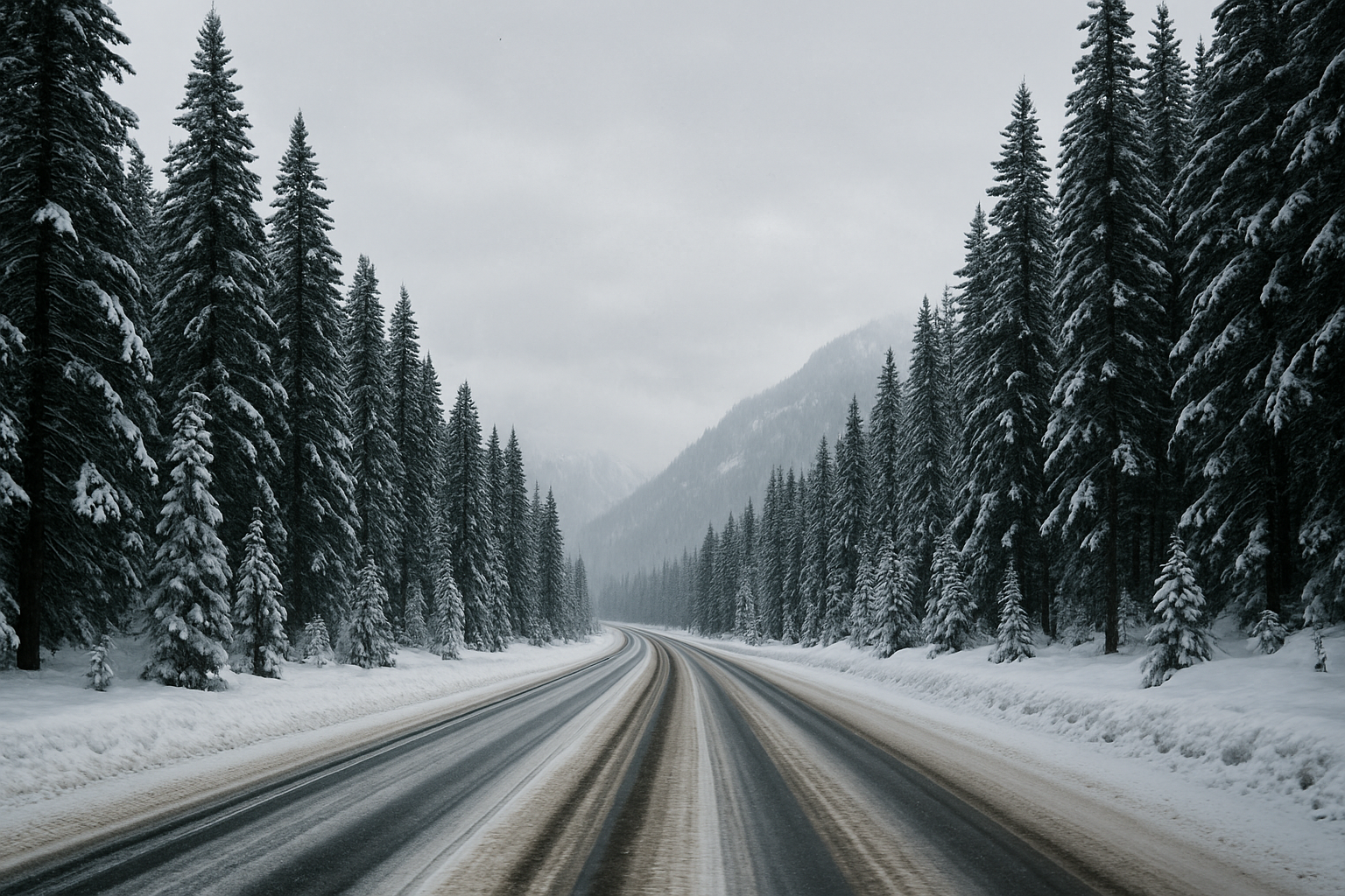
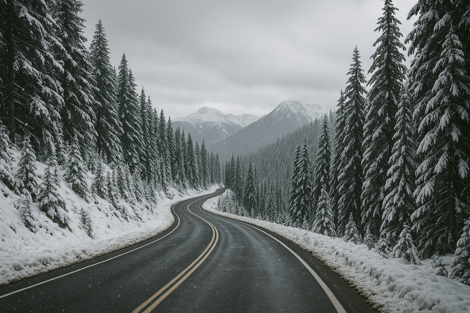
Higher elevations in eastern Cowlitz County and the Cascade foothills have a better chance at accumulating snow this week. Farther up in the Cascades, the Northwest Avalanche Center recently updated its mid‑February snowpack measurements, reporting overall snowpack at just 35–47% of average for this point in the season. Mt. Baker remains an outlier at 61% of average after receiving roughly 15 inches of new snow over the weekend.
Long‑range outlooks from federal forecasters indicate a shift toward near‑average temperatures and wetter‑than‑average conditions as the region approaches early March. If that pattern develops, it could help rebuild the region’s depleted mountain snowpack, a key water resource for southwest Washington.
For now, the localized chance of lowland snow remains modest. In Cowlitz County, the week’s forecast is more likely to bring cold rain, brief slushy showers on higher hills, and the potential for slick roads in the early morning hours than any widespread accumulation.
Sources
MyNorthwest: First lowland snow threat of winter arrives in western WA
Leave a Comment