
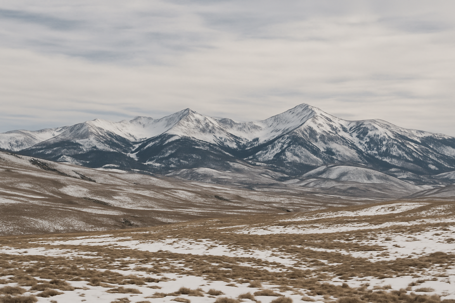
Snowpack levels across much of the Western U.S., including Oregon, are plunging to historic lows, putting a strain on water resources and highlighting broader regional vulnerabilities. According to a February 5 report released by the National Integrated Drought Information System (NIDIS) and its partners, snow cover in the Western U.S. on February 1 measured just 139,322 square miles — the lowest February 1 total on record since the start of satellite monitoring in 2001. As of that date, Oregon, along with Colorado and Utah, reported record-low statewide snowpacks based on SNOTEL measurements, data which stretches back to the early 1980s.
In Oregon, statewide average snow water equivalent (SWE) stood at merely 2.9 inches, significantly lower than the previous record low SWE of 4.0 inches set in early February 2015. This represents a dramatic decline in the volume of water stored in the region’s melting snowpack during what is traditionally a critical accumulation period for water supply.
These record-low levels are the result of a deeply dry and unusually warm January across the Western U.S. A prolonged dry spell, combined with temperatures well above normal and prolonged sunshine, limited snow accumulation and even led to some snowmelt at lower elevations. This exacerbated snow drought conditions across the West, including critical basins like Deschutes and Yakima in Oregon.
From a human perspective, these declines translate to serious concerns over summer water availability. Snowpack acts as the largest natural reservoir in the region, slowly releasing water that sustains communities, agriculture, ecosystems, and hydroelectric production through the dry months. Thin snowpack increases the risk of diminished streamflows, stressed ecosystems, and potentially intensified fire seasons if precipitation remains limited.
On a hopeful note, weather forecasts indicate a shift toward wetter-than-normal conditions across the Western U.S. over the near term. However, temperatures are still expected to stay above average, which may continue to limit effective snow accumulation even if precipitation returns.
Why this matters
For communities in the Longview–Kelso area and broader Cowlitz County, these developments are more than abstract climatic trends—they signal potential downstream impacts on the Columbia River system, regional reservoirs, and water-dependent industries. Groundwater recharge, irrigation, and fish habitats may face pressure if snowmelt inputs fall short. Local stakeholders—from farmers to hydro managers—should be alert to evolving conditions this spring, and consider early measures to conserve or reallocate resources.
Columbia Countercurrent will continue to monitor regional climatic developments, including rainfall patterns, reservoir statuses, and river flows, to keep our community informed and prepared.
Sources:
Information about record-low Western snow cover and Oregon’s snowpack comes from the NIDIS snow drought update of February 5, 2026, which noted the lowest February 1 snow cover since records began and record-low SWE in Oregon and other states. Drought.gov, “Snow Drought Current Conditions and Impacts in the West” (February 5, 2026).
The historic low SWE in Oregon (2.9 inches) and comparison to the previous record in 2015 are also detailed in that report. Drought.gov, February 5, 2026 update.


Leave a Comment